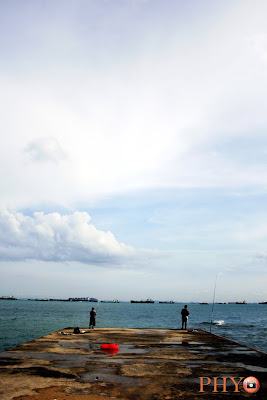
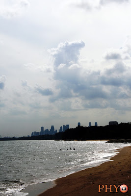
Initially, only planned to cycle to East Coast Park using Siglap Park Connector because I know the way and I had walked along that connector with my family to Kembagan MRT before. So, I not afraid of getting lost. I started cycling at around 4:00 pm. The weather was very nice. The sun was not that very hot. Reached East Coast Park Area C or B (I forgot) at around 4:20 pm. Take a short rest at Bedok Jetty and saw many airplanes landing towards Changi Airport.
The followings are the shots taken at East Coast Park:
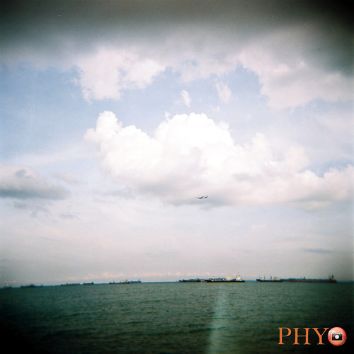
Then, continue cycle east along the coast. The route was quite long along the eastern part of East Coast Park. After cycling for about 15 mins, I also a sign saying the "Coastal Park" connector. That stretch of cycling road was newly built. It was built parallel to the Changi Coast Road. The connector is about 8km long. I saw the planes departing from the runway at Changi Airport. It was my first time travelling along that Changi Coast Road. Saw planes from different airlines such as SIA, Philippines Airline, etc.
Stopped and watched the planes departing.
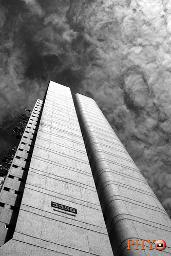
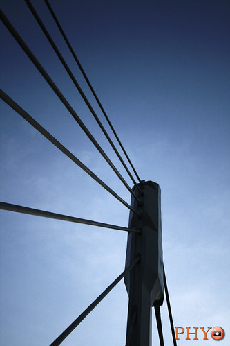
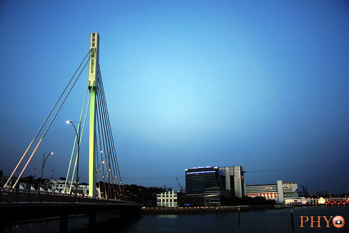
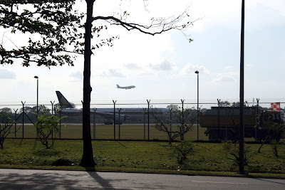
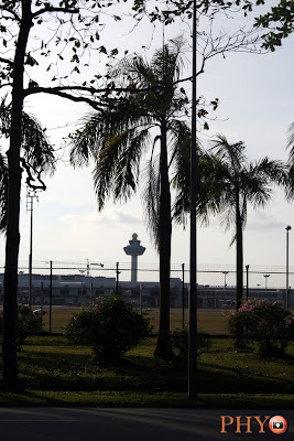
The iconic control tower.
That stretch along the airport runway was very long. Cycled, cycled and cycled and seems like never ending. Saw a few other people cycling from opposite direction.
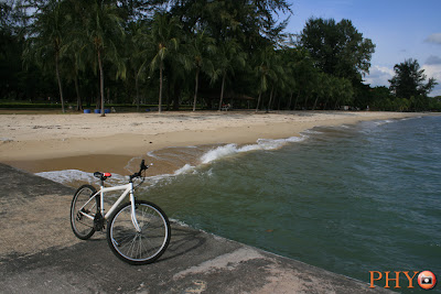
Finally. I reached Changi Beach Park which I never been before also. I was thinking of turning back and travel the route that I had taken to return home because I was not sure of the way to continue and afraid of getting lost. Instead, I keep on cycling forward because I wanted to explore that area and hoping of good photo shooting opportunity also. But I had not shoot that often because it was about 5:30 pm and I cycled a bit more quickly before the sun set and dark came. So, the rest of the journey, I did not shot that much.
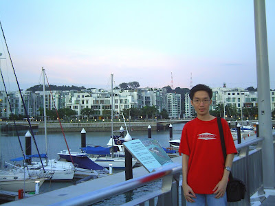
Then, I saw something familiar. The boats and Changi Point Ferry Terminal. I remembered that place because I had been there in Sept to go to Palau Ubin. So, my worries of getting lost decreased. Because, I also had been to the Changi Village several time with Ryan to eat Chicken Rice there.
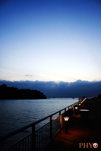
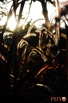
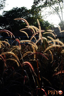
The sun was setting very fast. Then I saw those lallangs with the backdrop of the evening sunset. So, I shot the following photos.
Then took Changi Park Connector, Loyang Park Connector and I reached Pasir Ris Park. The surrounding was getting darker. So, I never stop to take photos. Finally, I took Tampines Park Connector to reach near Tampines MRT station. Once I saw the station, I knew the way to go back to the Bedok Reservoir, but that area was crowded with many people returning home from work. So, cycled slowly.
Finally, at around 8:00 pm, I returned the bike to the rental shop and went to nearby 7-11 to buy 100plus Big Gulp and took bus to go home. Actually, the place was only 2 bus-stops away from my house. But I was too tired to walk. So took bus.
When I reached home rest for about half hour to cool down, bathe and dinner.
To sum up, my very long entry, I cycled about 4 hours. I took the Eastern Park Connector route. Click here to see the map from Nparks Website. The distance covered was about 30 km. Felt getting lost sometimes on the way because I was following the signs and arrows indicating the PCN (park connector) but some places they suddenly disappear, so I need to find the way to go the to the park connector. Overall, it was a very good experience. My first time cycling that long distance.